Description
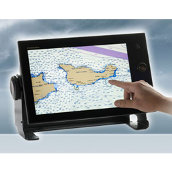
The FURUNO GP39 GPS Navigator provides accurate and reliable position fixing, thanks to a 12-channel GPS receiver combined with integrated SBAS (WAAS/EGNOS/MSAS) technology. The GP39 has various display modes, including Plotter, Highway, Steering, NAV data, and Satellite monitor, as well as 2 user-customizable display modes, allowing you to select which data you want displayed on its 4.2″ color LCD. Up to 3,000 points of ship track, 10,000 waypoints and 100 routes (each with up to 30 waypoints) can be stored. The waypoint and route data can be exported/imported via a USB flash drive or signal converter.
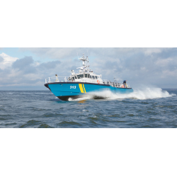
The GP39 can be networked with a fish finder, sonar, radar or other navigation equipment for feeding highly accurate navigation data. The GP39 receives the TLL (Target Latitude/Longitude) sentence from networked fish finders or sonars and can display the received information, allowing you to easily mark fish school locations.
Standard Features:
- Newly designed GPS core delivers enhanced position fixing accuracy
- Bright 4.2″ high-resolution color LCD (700cd)
- Storage for 3,000 track points, 10,000 waypoints and 100 routes
- SBAS capable for better positioning calculations
- Share and display position information on networked equipment such as a Fish Finder, Sonar, Radar, etc.
- NMEA0180 input port receives data from Fish Finder, Radar, etc.
- 7 display modes available, including 2 user-customizable modes
- Displays position data in Loran TD’s
- USB port for importing/exporting waypoints and routes; Upload/download data in GPX format for easy transfer to TZtouch/TZtouch2
- “Click-In” hanger for easy mounting/dismounting and uses no knobs – also perfect for overhead mounts
- Multi-language ready : English, French, Spanish, Chinese, Vietnamese, Malay, Indonesian and Thai